● Geoscience & Petrophysics Software

The Complete
Geo Tools Suite
for Professionals

An all-in-one platform built for geoscientists and petrophysicists. Perform advanced seismic interpretation, velocity modeling, geochemical analysis, and well log analysis — all from one powerful desktop application.

5+
Core Modules
20+
Analysis Tools
Win
10 / 11
GeoTools Suite — Seismic & Petrophysical Workstation

Geo Tools Suite

The Comprehensive Geoscience & Petrophysical Suite

Discover the ultimate all-in-one software solution designed for geoscientists and petrophysicists. Featuring an intuitive interface with multiple advanced interactive modules and forms, Geo Tools bridges the gap between raw data and actionable geological insights. Whether you are performing complex seismic ties, modeling source rock maturity, or analyzing well logs, Geo Tools provides the analytical power you need in one centralized platform.

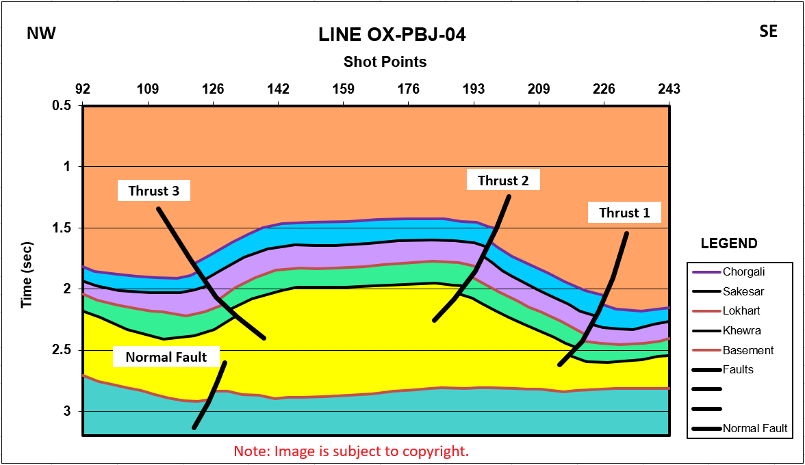
1. Seismic Interpretation

Unlock the full potential of your seismic data with powerful modeling and interpretation utilities designed for precision and speed.

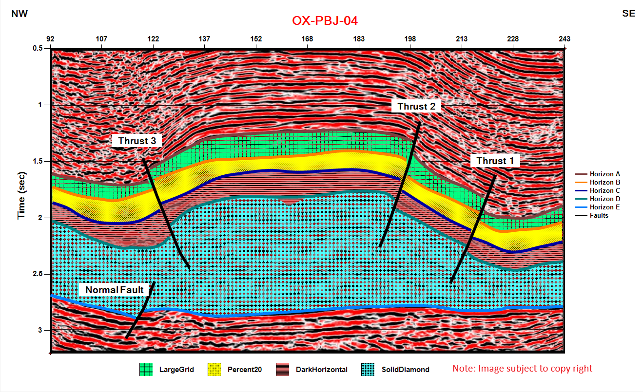
  • Synthetic Seismograms: Correlate well log data with seismic traces.
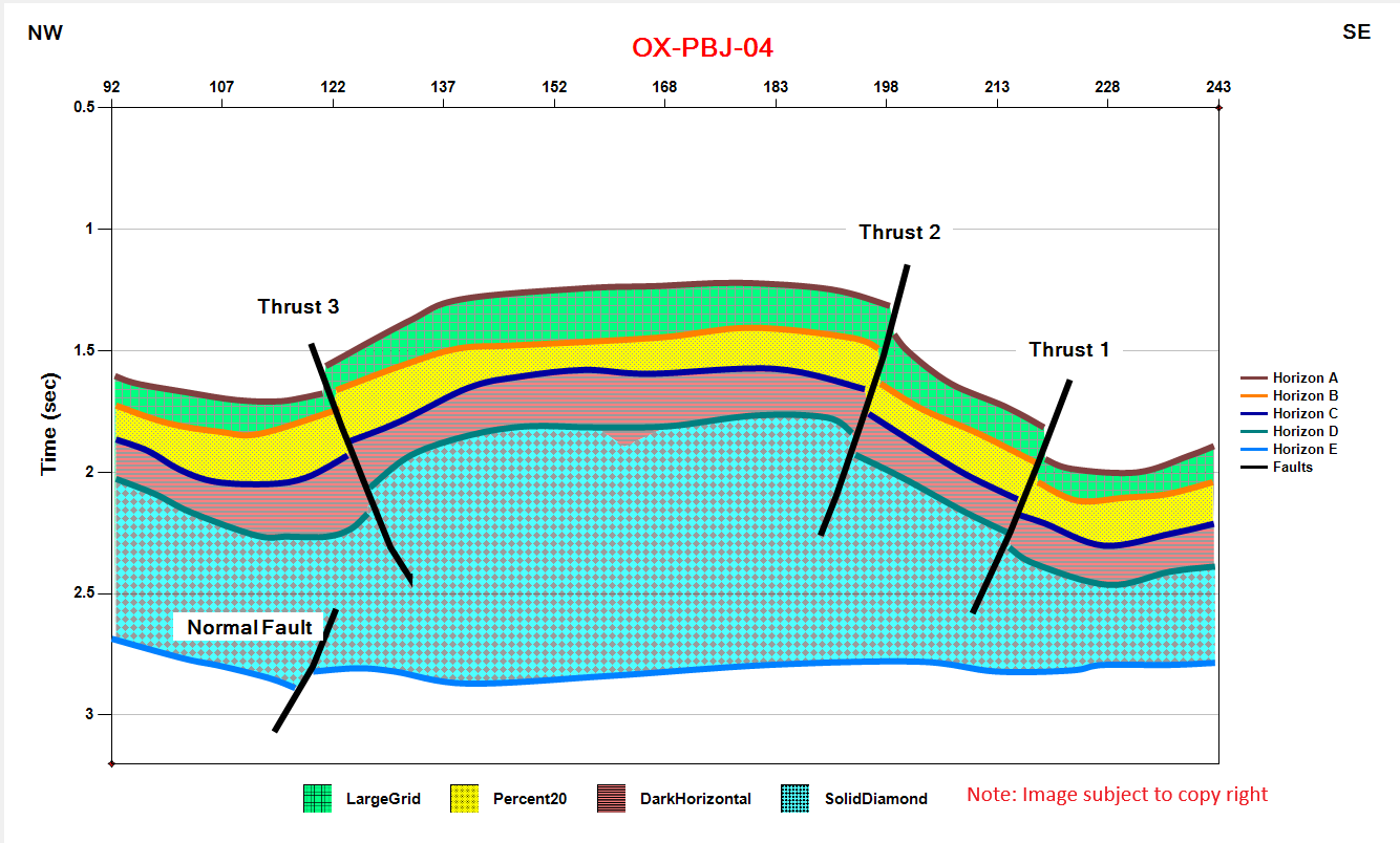
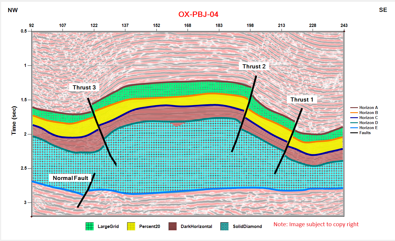
  • Dynamic Cross Sections: Build structural & stratigraphic sections.
  • Impedance Calculators: Map Acoustic Impedance and Reflection Coefficients.
  • Impedance Calculators: Map Acoustic Impedance and Reflection Coefficients.

2. Velocity Modeling

Ensure absolute spatial accuracy with a robust suite of time-to-depth conversion tools and calculations.

  • Velocity Conversions: Compute Average, Interval, and RMS velocities.
  • Time-Depth Charts: Dynamically convert time domain to depth domain.
  • Well Path Corrections: Convert MD to TVDSS instantly.
  • Time Shifting: Apply precise bulk time shifts for perfect ties.

3. Geochemical Analysis

Evaluate reservoir viability and source rock potential with specialized geochemistry crossplots and calculators.

  • TOC Modeling: Calculate Total Organic Carbon using multiple methods.
  • Maturity & Potential: Crossplots of Tmax vs. HI, PI, and VRO.
  • Kerogen Typing: Determine kerogen types using Hydrogen & Oxygen index plots.
  • Kerogen Typing: Determine kerogen types using Hydrogen & Oxygen index plots.

4. Petrophysics & Well Log Analysis

Accurately characterize reservoirs with industry-standard petrophysical workflows and advanced basin compaction modeling.

  • Porosity Calculation: Calculate Total Porosity and Effective Porosity.
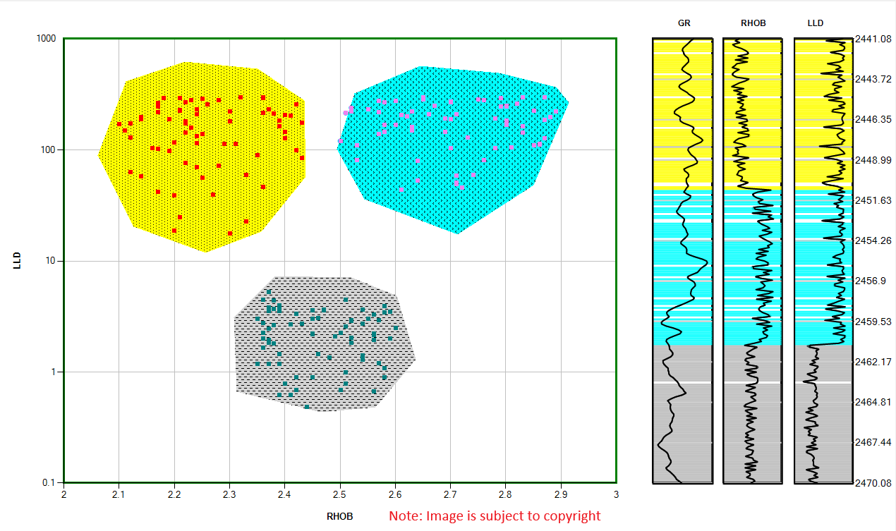
  • Facies Modeling:Identify Clean Sand, Shaly Sand and Shale based on logs.
  • NPHI-RHOB Crossplots: Identify rock types and porosity percentages.
  • Reservoir Properties:Calculate Water Saturation and Hydrocarbon Saturation.

5. Data Management & Utilities

Streamline daily workflows, project points, clean curves, and manage geological structural frameworks.

  • Map & Image Digitizer: Extract numerical data from static raster maps.
  • Signal Processing: Apply interpolation, convolution, and smoothing.
  • Spatial Management: Filter data by polygons and project to base maps.
  • Structural Frameworks: Organize Horizon and Fault managers.

Get the GeoTools Suite Setup

The complete bundle contains all core executable modules, example log curves, sample sections, and comprehensive documentation to start modeling immediately. Download the package below and follow the quick installation guide.

File Name: GeoTools_Bundle.zip File Size: 1.16 MB
Version: v2026.1 (Stable Release) Supported OS: Windows 10 / 11 (64-bit)

Simple Installation Steps:

  • Download the ZIP bundle directly via the button below.
  • Unpack/extract the ZIP archive files to a folder on your local drive.
  • Run the setup.exe file and read instruction file.
  • Generate trial license for 30 days absolutely free or get professional license using our Licensing Panel below:
Download Setup ZIP
GeoTools Facies Modeling Preview
PRODUCTS

Our Products

Our web-based solutions designed to solve real-world industry challenges, whether these challenges are related to API testing and automation or these are related to managing Geological and Geophysical data:

PulseAPI Showcase
QA TESTING

PulseAPI

API Test Manager

A complete API Testing platform with chai assertions, JavaScript based test cases for automation, Testing JSON Schema, Handling Global and Collection variables.

View Product Details
ISTQB Quiz API Showcase
EDUCATION & QA

ISTQB Quiz API

Software Testing Prep & Evaluation

Access comprehensive certified ISTQB question banks, active simulation exams, and custom performance metrics for team training.

View Product Details
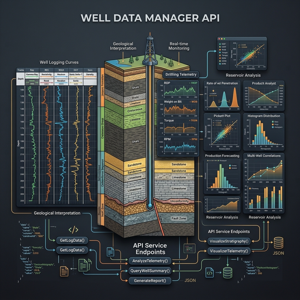
Well Data Manager API Showcase
GEOLOGY & GEOPHYSICS

Wells Explorer

Wells data Manager

View Wells Data, Formation tops data, Well logs, Directional data, Documentations, Cultural data, 2D Surveys and 3D Surveys. QC Wells by applying different filters.

View Product Details
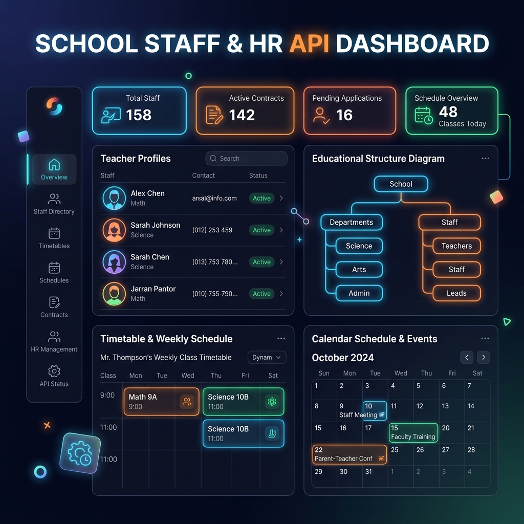
School Staff API Showcase
ENTERPRISE HR

School Staff API

Educational HR & Staff Orchestration

Robust backend API built to organize educational staffing rosters, classroom allocation timetables, and teacher administrative duties.

View Product Details

Get Your License

Get instant access to our premium suite. Licenses are automatically generated and emailed to you immediately after purchase.

Standard License includes: Full feature access
Priority developer support
Regular security updates
An invoice will be securely emailed to you

Contact Us

Have questions or need support? Reach out to our team.

Get in Touch

GeoTools Suite
Muhammad Mudasir
Belwederska 26/30 32-127
Warsaw, Poland
(123) 456-7890